Ka’anapali
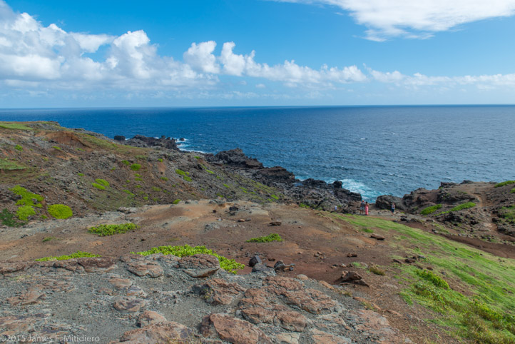 We started our day trip early on Tuesday morning heading west on route 30 for Ka’anapali. Route 30 weaves its way through the towns of Honokowai, Kahana, Napili, and Kapalua on its coastal route to Nakalele Point and the Blowhole site. At Honokohau Bay the route numbers change and ultimately change to route 340 at Kahakuloa. It should be noted that the scenery was particularly green on our visit in late September as the island had experienced five near miss hurricanes during the summer months.
Heavy rains during the summer turned a usual brown landscape into a luscious green. Some of our photographs 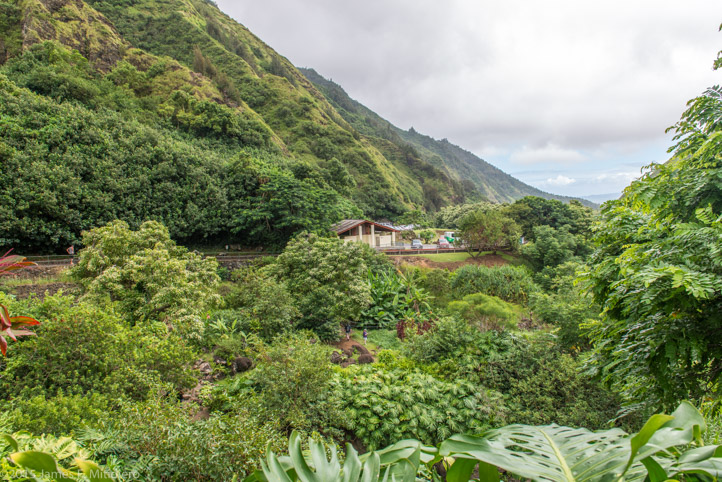 appear rather stark as the Hawaiian Islands are largely made of volcanic rock. The contrast between the windward and leeward sides of the island is striking. There are parts of the island on the leeward side that have a distinctive desert feel to it. The windward side gets all the rain and the high mountain ranges mid island prevent raining on the leeward side.
We traveled the grand loupe on the western end of Maui stopping where we could to take pictures. Some of our stops did not post names other than “roadside attractions” or “scenic view”. Three miles off the main road at the town of Wailuku is ‘Iao Valley State Park a picturesque area with plenty to photograph. Route 30 begins south of Wailuku, but before heading back to our hotel we stopped at Maui Ocean Center for a trip through their museum; that highlighted the many species of marine life on and around the island and a burger at the nearby Beach Bums restaurant. The view from Beach Bums restaurant across Ma’alaea Bay, to what looks to be another island, is actually the eastern side of Maui.
The final sunset photograph from our balcony has the sun setting behind the island of Lana’ 8.8 miles away. To see the slideshow click here.